Radurlaub-Holland.de
a service provided by best-biketours.com
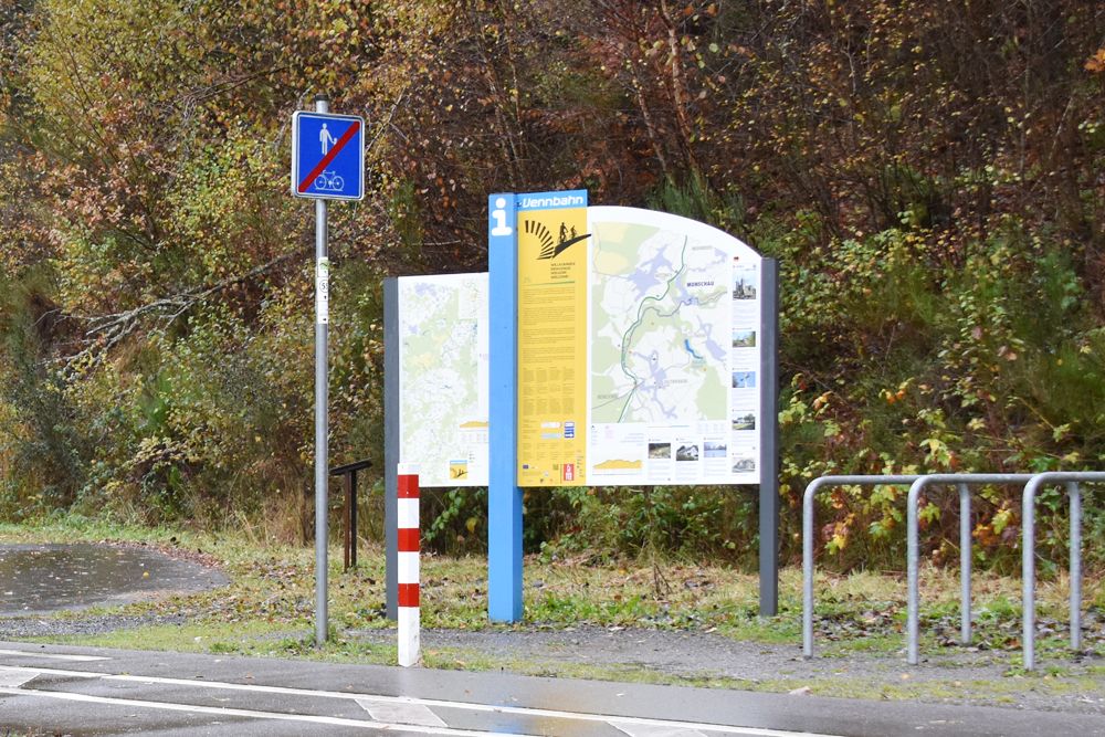
Starting with Flanders, the Belgian and Dutch governments have not only equipped their countries with a dense network of excellent cycle paths, but have also provided them with exemplary signage - the regional junction network system.
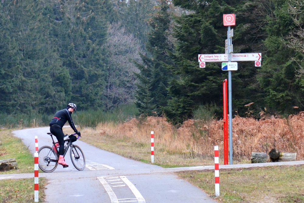
A junction is an intersection of cycle paths. It is marked with
- a mast bearing the number of the junction
- possibly the name of the cycle path
- signs for all directions with place names, kilometre markers and the numbers of the next junctions
- as well as an overview map of the region with the next junction
- often with a geographical indication and an emergency number.
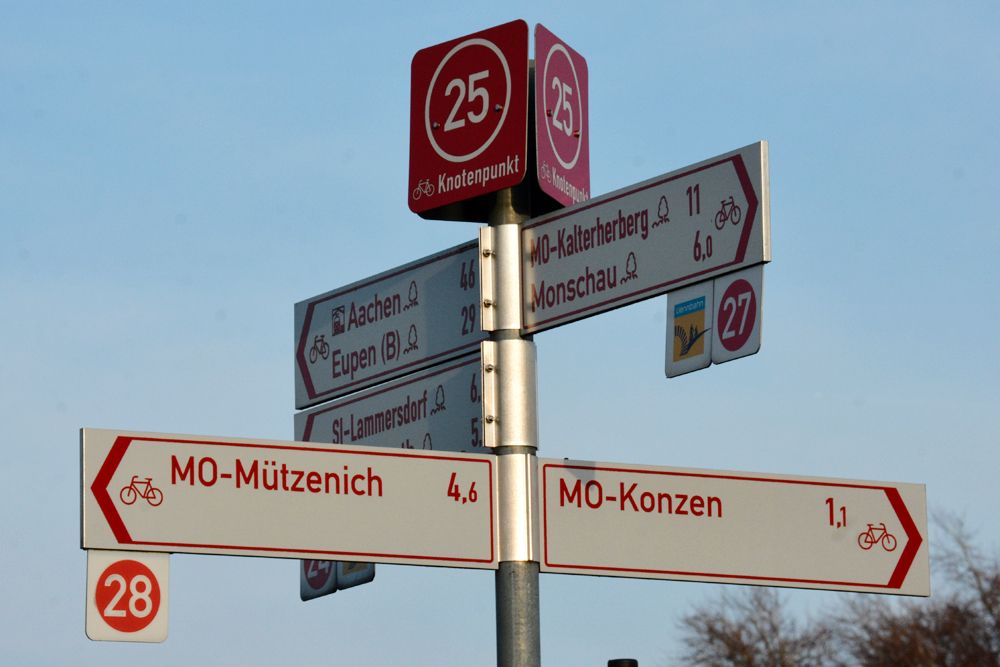
The cycle paths between the junctions are well signposted with the junction numbers and/or the place names. In the Netherlands the signs are usually white/green, in Belgium they are white/red and cannot be overlooked. So you can go to any junction and, after looking at the map, put together your own tour by cycling from junction to junction.
The junctions are communicated everywhere, in maps, tourist flyers and web services, meaning you can put together long tours. Tour operators also use the junction system for their tour descriptions.